Manage your site with clarity, precision, and confidence.
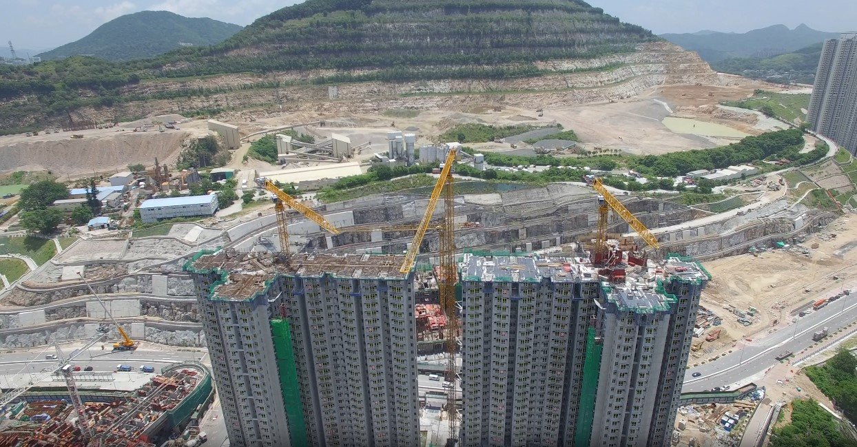
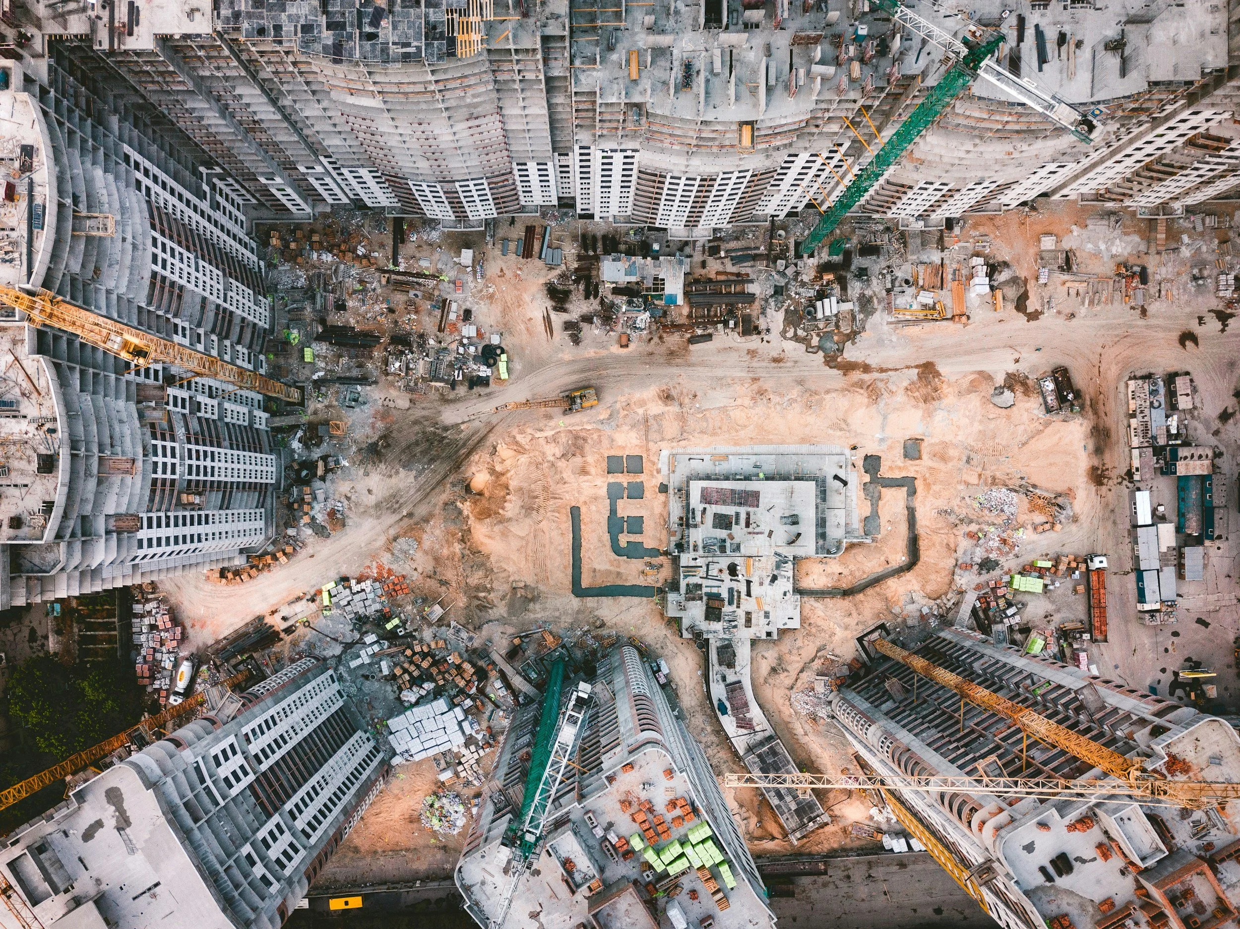
real-time site Development from start to finish
Our Services
AERIAL IMAGERY _ PHOTO AND VIDEO
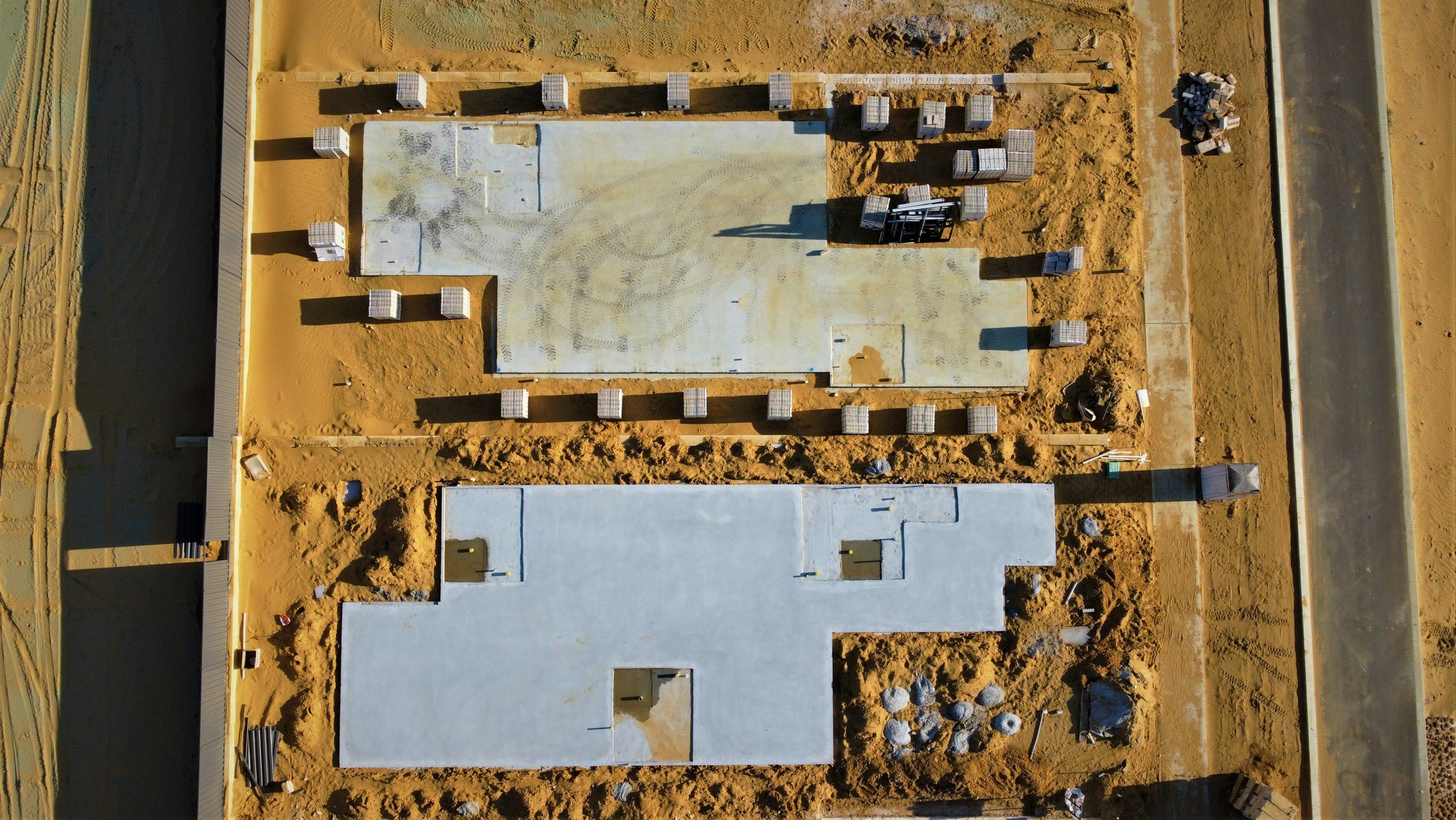
Today’s advanced drone technology enables the creation of custom flight paths for still imagery, video, and image models that can be saved after an initial flight on site . Whether you want to capture daily, weekly, or monthly progress, the saved flight plans can be reused to follow the same video path, take photos from the same locations, and generate progressive site models that display identical data over time.
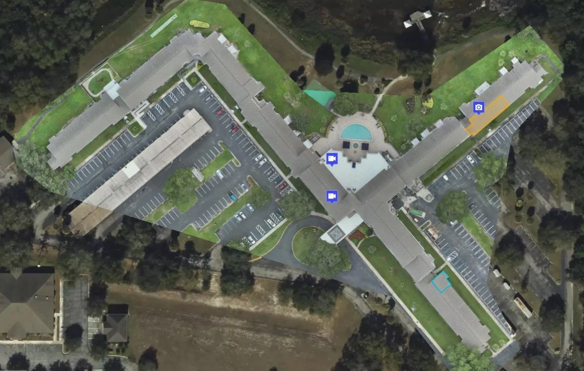
AERIAL MAPs _ 2D ORTHOMOSAICS
- Visualize, inspect, and document progress while on site or remotely from across the globe -

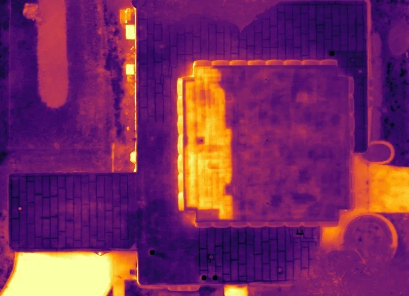
THERMAL MAPS _ INFRARED INSPECTIONS
Aerial mapping technology and 2D orthomosaics can also be used in thermographic applications like scanning a roof system for embedded moisture or inspecting a vertical building facade for water intrusion.
phased progress.
documented.
Contact Us
Interested in working together? Fill out some info and we will be in touch shortly. We can’t wait to hear from you!