SERVICES
AERIAL IMAGERY _ PHOTO AND VIDEO
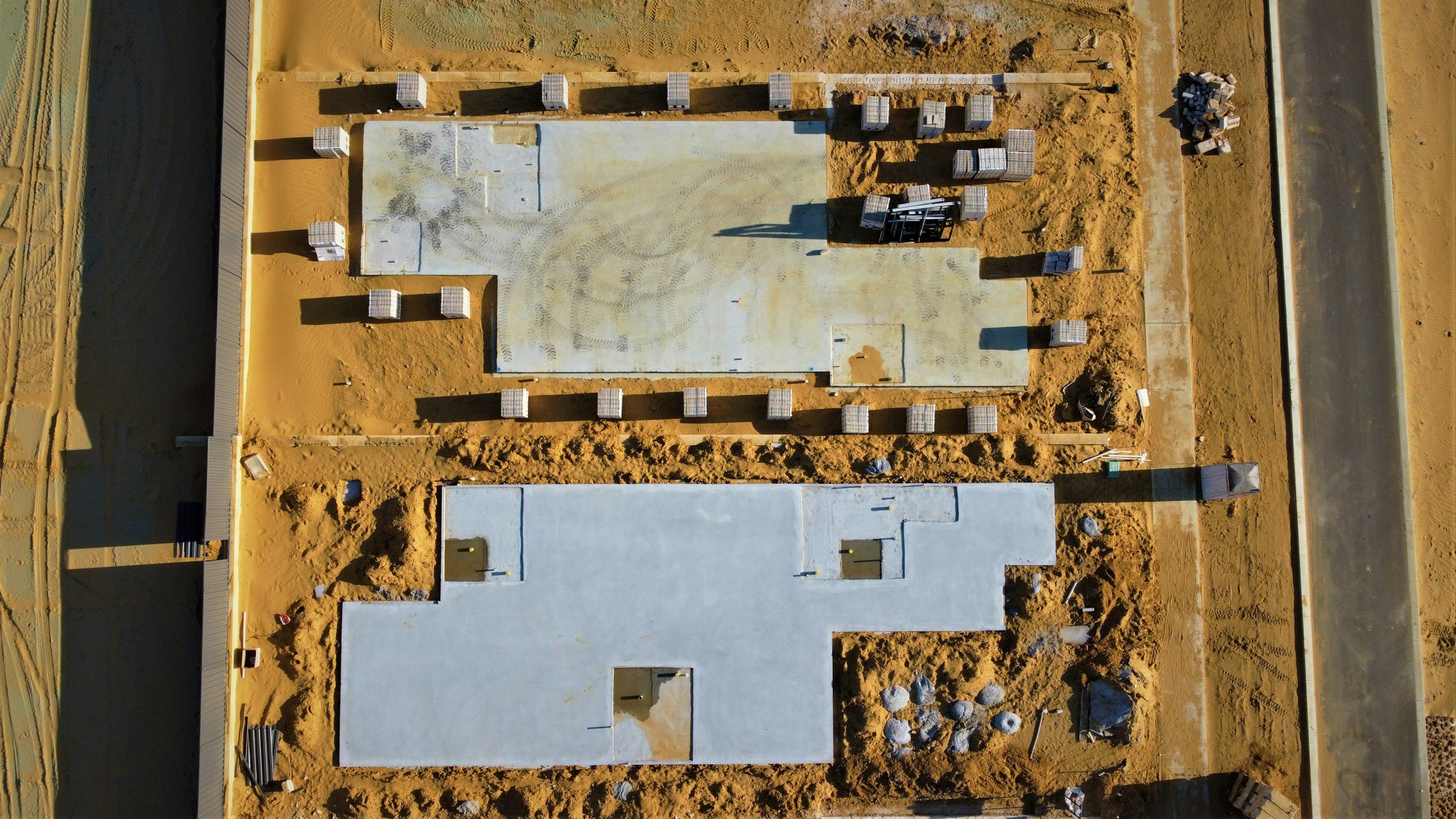
Today’s advanced drone technology enables the creation of custom flight paths for still imagery, video, and image models that can be saved after an initial flight on site . Whether you want to capture daily, weekly, or monthly progress, the saved flight plans can be reused to follow the same video path, take photos from the same locations, and generate progressive site models that display identical data over time.